Preview image. Unlock full-res
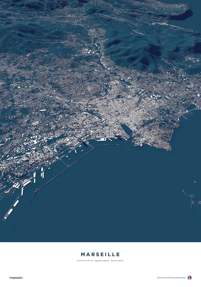
Stylized aerial/satellite view of the city of Marseille, France showing street grid, harbor infrastructure, and coastal geography in cool blue and cream tones with location text at bottom.
Summary
Stylized aerial/satellite view of the city of Marseille, France showing street grid, harbor infrastructure, and coastal geography in cool blue and cream tones with location text at bottom.
Visual description
A bird's-eye cartographic rendering of Marseille's urban layout rendered in light cream and soft white lines against a dark teal-blue water background. The map shows street patterns, building footprints, harbor docks, and waterways in fine detail. At the bottom, 'MARSEILLE' in small serif capitals with coordinates (43°17'47" N 5°22'12" E), population (852,516), and land area (241 km²) in small sans-serif type. Bottom right includes 'maptastix' credit and UEFA Euro 2016 France Host City badge.
Key takeaway
Clean, restrained color palette for maps making complex data readable. The cream-on-teal scheme is memorable and works for both print and screen. Typography hierarchy clearly distinguishes location name from metadata.
Reuse notes
Template for city maps, travel guides, sports event materials, or geographic infographics. The style is contemporary and works at poster, print, and web scales. Could be adapted for any coastal city.
More like this
Keep what you find
A free account saves references to boards and can send you a weekly email of picks based on what you save.
To see every result, go Pro.