Preview image. Unlock full-res
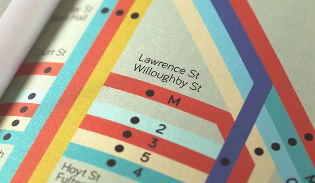
A stylized, colorful graphic representation of a subway or transit map featuring various colored lines, numbered stations, and street names.
Summary
A stylized, colorful graphic representation of a subway or transit map featuring various colored lines, numbered stations, and street names.
Visual description
The image shows a series of thick, multi-colored diagonal and horizontal lines intersecting at various points. Text labels like 'Lawrence St' and 'Willerby St' are placed alongside numbered circles and colored dots.
Key takeaway
The design uses a clear, geometric system to organize complex spatial information through color-coding and bold lines.
Reuse notes
This style can be adapted for complex data visualization, wayfinding systems, or abstract branding elements.
More like this



Keep what you find
A free account saves references to boards and can send you a weekly email of picks based on what you save.
To see every result, go Pro.