Preview image. Unlock full-res
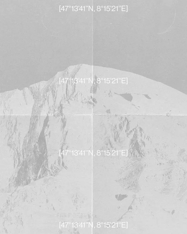
A vertical collage of four satellite photographs showing different terrains, divided by white lines and labeled with geographic coordinates.

Summary
A vertical collage of four satellite photographs showing different terrains, divided by white lines and labeled with geographic coordinates.
Visual description
The image is a four-quadrant grid of grayscale satellite imagery showing mountains, water, and land. Each quadrant is separated by a white line and contains a set of geographic coordinates in the upper right corner.
Key takeaway
The design uses a technical, data-driven layout to present geographic information clearly.
Reuse notes
This layout can be used for data visualization, mapping applications, or technical reports.
More like this







Keep what you find
A free account saves references to boards and can send you a weekly email of picks based on what you save.
To see every result, go Pro.