Preview image. Unlock full-res
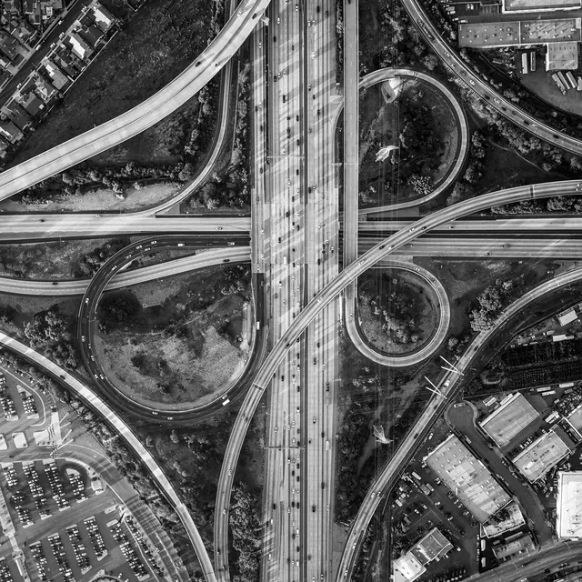
A high-angle, black and white aerial photograph of a complex multi-level highway interchange with circular ramps and surrounding urban infrastructure.
Summary
A high-angle, black and white aerial photograph of a complex multi-level highway interchange with circular ramps and surrounding urban infrastructure.
Visual description
The image features a dense network of curving roads and overpasses in a grayscale palette. It captures the geometric complexity of a cloverleaf interchange and surrounding parking lots and buildings from a top-down perspective.
Key takeaway
The image emphasizes complex connectivity and structural flow through high-contrast geometric patterns.
Reuse notes
Can be used as a background for logistics, urban planning, or data connectivity themes.
More like this








Keep what you find
A free account saves references to boards and can send you a weekly email of picks based on what you save.
To see every result, go Pro.