Preview image. Unlock full-res
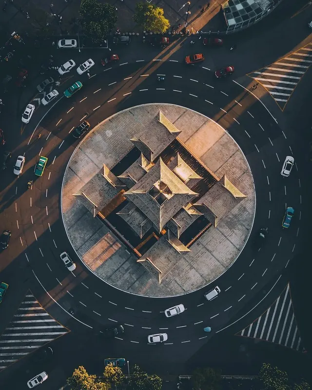
Bird's-eye view of a busy urban traffic roundabout surrounded by parked cars, vehicles in motion, street markings, and green landscaping at the perimeter.
Summary
An overhead drone photograph of a busy urban roundabout packed with parked and moving vehicles, street markings, zebra crossings, and greenery visible at the edges.
Visual description
Wide aerial perspective of an intersection or roundabout viewed from directly above. Multiple vehicles—white, dark, and colored cars—are positioned both parked along the perimeter and moving through the roundabout. Yellow street markings, white dashed lane guides, and zebra crossing stripes structure the composition. Green trees and landscape features border the scene. The asphalt is dark gray with tan undertones from sunlight and wear. High contrast between vehicle colors, road markings, and pavement.
Key takeaway
The overhead perspective transforms everyday urban infrastructure into a complex, almost abstract pattern. Color and movement data become visible through composition alone, without need for infographics.
Reuse notes
Effective for urban planning presentations, city development projects, traffic analysis, or any context emphasizing complexity and organization of dense environments. The data-rich composition works well for analytical or journalistic contexts.
More like this






Keep what you find
A free account saves references to boards and can send you a weekly email of picks based on what you save.
To see every result, go Pro.