Preview image. Unlock full-res
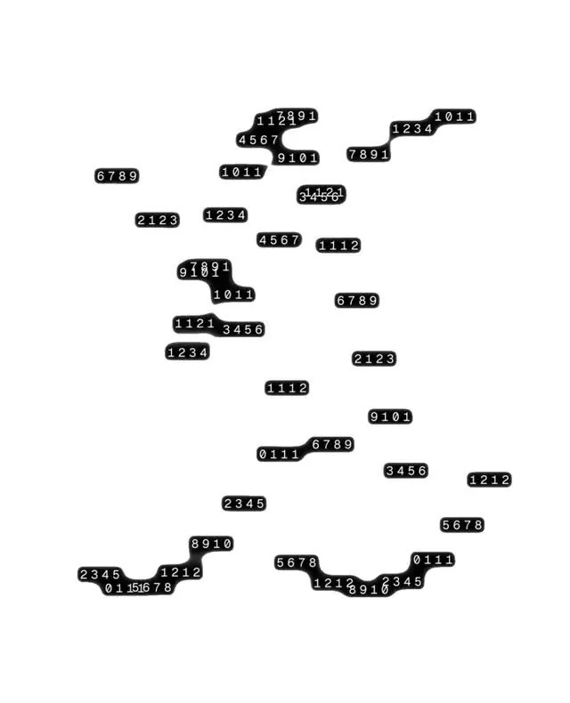
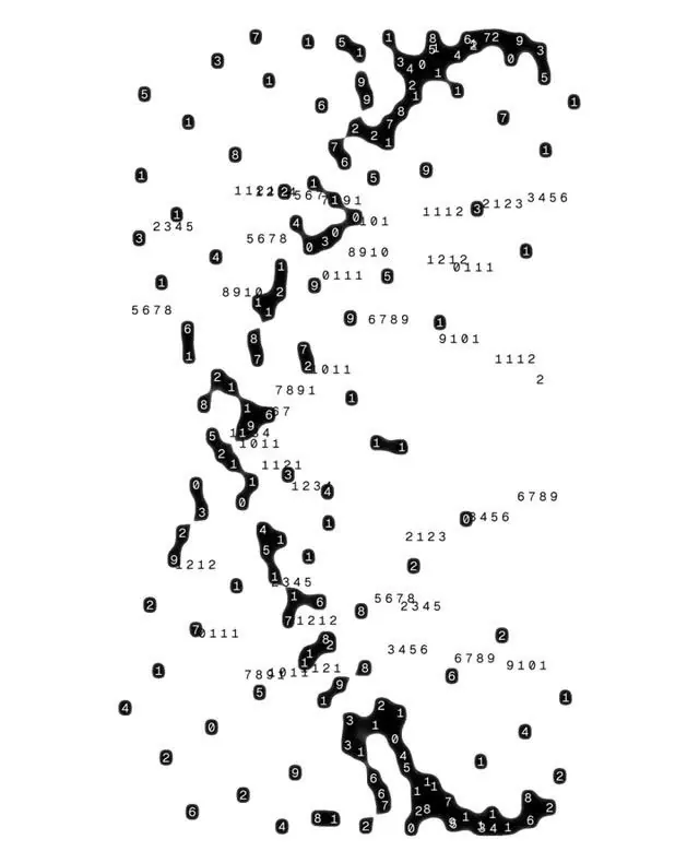
A minimalist data visualization mapping geographic regions through connected nodes and numerical labels on a white background.
Summary
A minimalist data visualization mapping geographic regions through connected nodes and numerical labels on a white background.
Visual description
A minimalist data visualization mapping geographic regions through connected nodes and numerical labels on a white background. The design uses a connect-the-dots aesthetic to represent territorial boundaries, with scattered reference numbers creating an abstract, technical appearance reminiscent of cartographic or network analysis. Scattered composition with clustered node formations distributed across the canvas, creating organic regional groupings connected by linear paths with distributed numerical annotations. Small sans-serif numerals in a technical, monospaced style used for data labeling and reference coding
Key takeaway
A data viz reference. Worth saving for its minimalist, data visualization, cartographic treatment.
Reuse notes
Fits general design work.