Preview image. Unlock full-res
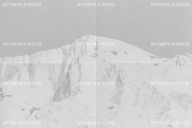
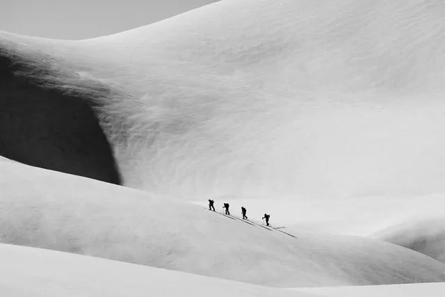
Monochromatic landscape photograph of Arctic mountains overlaid with a grid of GPS coordinates.
Summary
A minimalist black-and-white landscape photograph of a pristine Arctic mountain range, systematically annotated with GPS coordinate markers in a grid overlay.
Visual description
A stark monochromatic landscape showing rolling snow-covered mountains and tundra under pale sky. The photograph is rendered almost entirely in grays and whites—high-contrast, minimal color. Overlaid on the image is a 3x3 grid of white text labels, each displaying identical GPS coordinates [47°13'41"N, 8°15'21"E] positioned at each grid intersection (corners, midpoints, center). The repetition of the coordinate text creates a technical, almost data-driven aesthetic, as if the landscape is being surveyed or cataloged. The typography is monospace, clean, and ordered. The effect is contemplative—nature meets precision, beauty meets documentation.
Key takeaway
Conceptual overlay: the GPS grid transforms a landscape photograph into a data visualization or conceptual artwork. The repetition of one coordinate across multiple points is oddly meditative, suggesting simultaneity or spatial precision.
Reuse notes
Excellent for geographic or location-based projects, scientific photography, or conceptual art direction. Works for environmental storytelling, data visualization, or mapping-related content. The minimalist color palette means it pairs well with technical or clean typography. Potential uses: climate/environment campaigns, geographic software, documentary design, or conceptual editorial work.
More like this






Keep what you find
A free account saves references to boards and can send you a weekly email of picks based on what you save.
To see every result, go Pro.