Preview image. Unlock full-res
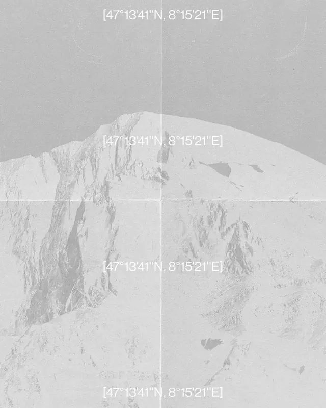
Monochrome aerial photograph of snow-covered mountainous terrain with overlaid GPS coordinate markers in white text.

Summary
An aerial photograph of snowy alpine terrain with white GPS coordinates overlaid at multiple points, emphasizing cartographic precision and location tagging in a minimalist aesthetic.
Visual description
A desaturated, high-contrast aerial view of mountainous snow-covered landscape captured from above. The composition features valleys and peaks with varied texture from snow accumulation and shadowing. Three instances of identical GPS coordinates (47°13'41"N, 8°15'21"E) are positioned at the top, center, and bottom of the frame in a clean, monospace typeface, serving as location markers. The entire palette is restricted to grays and off-whites with subtle tonal variation.
Key takeaway
The interplay between raw topographic photography and precise textual overlay creates a bridge between analog landscape and digital mapping. The repeated coordinate stamps feel like a data-driven annotation of the natural world.
Reuse notes
Works well for projects exploring themes of location, mapping, exploration, or the intersection of technology and nature. The minimal monochrome aesthetic suits editorial, environmental, or tech-forward contexts. The GPS text feels contemporary and could anchor a data visualization or geospatial design narrative.
More like this








Keep what you find
A free account saves references to boards and can send you a weekly email of picks based on what you save.
To see every result, go Pro.