Preview image. Unlock full-res
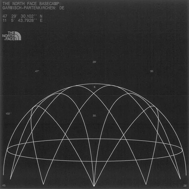
A technical cartographic diagram showing latitude and longitude lines intersecting over a partial spherical globe, rendered as white line-work on dark charcoal.
Summary
A technical cartographic diagram of Earth's coordinate system, showing intersecting latitude and longitude lines on a partial spherical surface in stark monochrome line-work.
Visual description
A dark charcoal background fills the entire frame. Overlaid on it is a geometric representation of a sphere viewed from one side, rendered as a series of curved white lines forming a grid. Horizontal lines represent latitude, curving slightly as they wrap around the sphere. Vertical lines represent longitude, meeting at points and creating a diamond-pattern lattice where they intersect. In the upper left corner, sparse text shows geographic coordinates and labels: "THE NORTH FACE BASECAMP: GARMISCH-PARTENKIRCHEN: DE / 47 29' 30.102" N / 11 5' 43.7928" E". The line weights are consistent, and the geometry is precise, suggesting technical drafting or scientific illustration. The composition is centered, with the sphere occupying roughly two-thirds of the frame.
Key takeaway
The use of white line-work alone to represent three-dimensional structure on a dark ground is economical and striking. The clear distinction between latitude and longitude logic makes the coordinate system immediately legible. The sparse labeling with degrees and compass directions reinforces a sense of surveying and geographical precision, useful when introducing technical or geospatial concepts.
Reuse notes
Appropriate for reports, maps, or educational materials involving geography, surveying, or coordinate systems. The monochromatic, high-contrast treatment works well in print and digital. The style reads as authoritative and scientific without being cold. Pairs well with sans-serif body text and geographic or demographic data. The style is reminiscent of vintage cartography and works for heritage or expedition branding.
More like this






Keep what you find
A free account saves references to boards and can send you a weekly email of picks based on what you save.
To see every result, go Pro.