Preview image. Unlock full-res
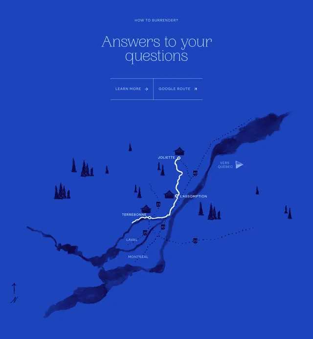
Deep blue CTA band with oversized serif headline, dual text links, and a hand-illustrated regional map tracing the Christmas market route through Lanaudière.
Summary
Deep blue CTA band with oversized serif headline, dual text links, and a hand-illustrated regional map tracing the Christmas market route through Lanaudière.
Visual description
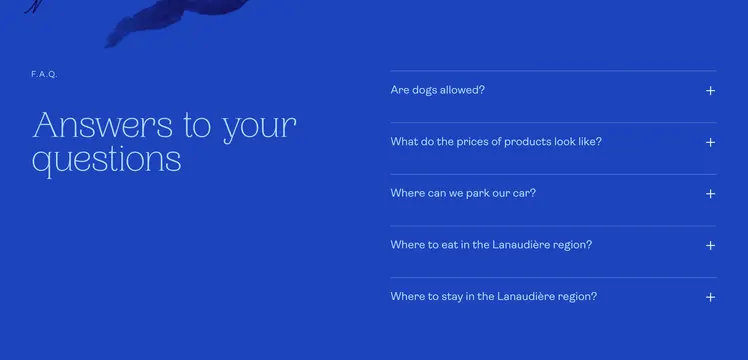
Saturated deep blue full-width block. Top: small caps HOW TO GET THERE label, large thin white serif headline Answers to your questions, then a ruled row with LEARN MORE arrow link left and GOOGLE ROUTE external link right separated by a vertical rule. Bottom two-thirds: painterly illustrated map in darker blue water tones with white route line connecting Joliette, Terrebonne, L'Assomption, Laval, and Montréal. Hand-drawn house icons, evergreen trees, dotted secondary routes, highway shields (20, 25, 40), a north arrow, and VERS QUÉBEC directional label.
Key takeaway
Pair practical CTAs with a bespoke illustrated map so navigation feels destination-branded rather than a generic embed. Keep links as understated text rows with arrows instead of heavy buttons on dark blue. One thick white route line makes the multi-city journey instantly legible.
Reuse notes
Best for multi-stop tourism routes or trail marketing that wants warmth over Google-default UI. Needs a strong illustration asset and real cities on the path. Dark blue field limits photography; typography and map art carry the section.