Preview image. Unlock full-res
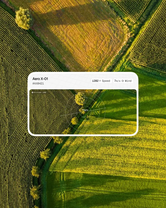
Drone photo of farmland with a clean tech UI frame overlaid, merging aerial photography with minimalist data-collection interface.
Summary
Overhead drone shot of green and golden-brown farmland with crop rows, framed by a minimal light card displaying technical metadata on the upper-left overlay.
Visual description
A high-altitude photograph of patchwork agricultural fields in varying shades of olive, yellow-gold, and deep green. The landscape shows distinct row patterns and contrasting field divisions. A clean white rounded-corner card floats in the composition's upper portion, containing minimalist sans-serif text with metadata: "Aero X-01", asset number, speed, and aspect ratio specifications. The overall layout balances the organic texture of the landscape against crisp geometric framing.
Key takeaway
The pairing of abstract natural patterns with an organized information overlay creates visual depth without clutter. The minimal white card commands focus without dominating. The color interplay between crop textures and the cool white card achieves clarity and visual hierarchy on a busy photographic background.
Reuse notes
Effective for applications merging environmental data, agricultural technology, real-estate analysis, or Earth observation contexts. Works well as a cover image, dashboard backdrop, or presentation hero where you need to convey technical analysis over natural systems. The overlay pattern also applies to mobile UI design over photographic backgrounds.
More like this
Keep what you find
A free account saves references to boards and can send you a weekly email of picks based on what you save.
To see every result, go Pro.